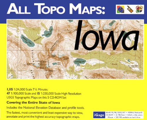

With iGage's All Topo Maps CD-ROM, all your mapping needs for Iowa are unified in one simple tool. Professional and recreational users alike will enjoy instant access to these high-resolution color images of all USGS topographic maps.
All Topo Maps have important professional features not available from other products. You can view, annotate, export, and print maps and variable scales using the All Topo map viewer. This fast, full-featured viewing software allows instant map selection using the built-in place-name database (or by geographic coordinates), zooming to any scale, instant coordinate display, traced-distance measurements, and printing at any scale, both in color and black and white.
With the BigTopo tool, you can quickly seam together adjacent quadrangles, removing collars and generating large area-coverage maps. BigTopo maps can be exported (royalty-free) with georeferenced world files for use with GIS and CAD applications. Build huge, full-resolution topographic maps that completely cover your trip or project's area.
Using the GPS tool, you can transfer waypoints, routepoints, and trackpoints between your GPS and PC. Mark waypoints on maps for transfer to your GPS or use your GPS to mark coordinates in the field and extract them onto the maps.
iGage's All Topo Maps are compatible with the following Garmin GPS receivers: GPS 12, GPS 12XL, GPS 38, GPS 48, GPS II, GPS II Plus, GPS III, GPS III Plus, GPSMAP 162, GPSMAP 168, eMap, eTrex, eTrex Summit, eTrex Legend, eTrex Venture, eTrex Vista, and eTrex Camo.
All Topo Maps are also compatible with the following Magellan GPS receivers: GPS 315, GPS 320, and GPS 330.
Brunton MNS users may need a firmware upgrade to transfer waypoints and tracks; version 2.01 or 2.11 is required.

No comments:
Post a Comment